Explore the little-traveled lands of Chabot Regional Park.

Join the Ridge Trail eNews, for all the latest events and trail news.
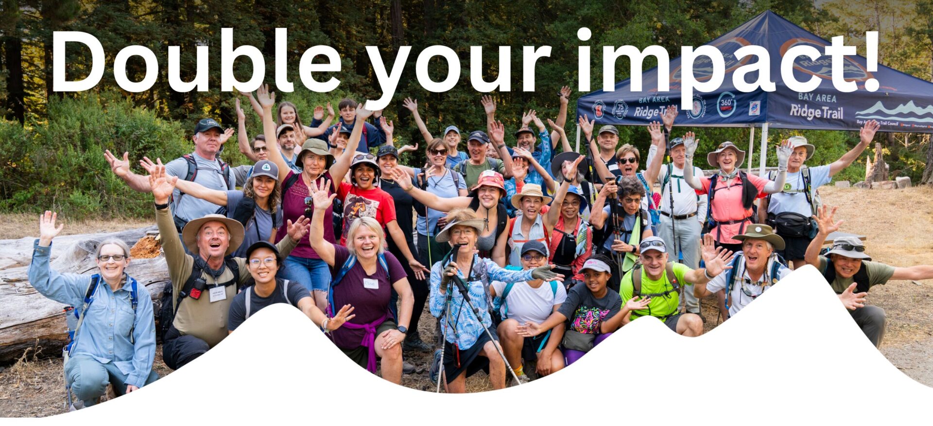 Right now, our board is matching gifts dollar-for-dollar!
Will you help us finish the year strong?